Jawg GIS
Organize and style your geographic data into
interactive maps for your websites and mobile apps.
interactive maps for your websites and mobile apps.
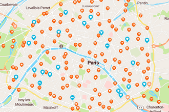
Visit Paris
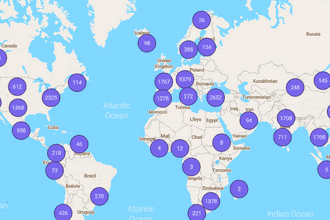
World air quality
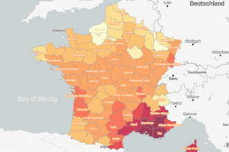
Sunshine in France
X

Visit Paris

World air quality

Sunshine in France
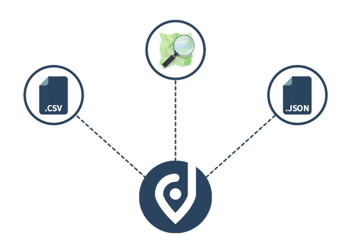
Connect OSM
Use OpenStreetMap data directly from the GIS.
Various data sources
Upload your own data sources and combine them.
Style editor
Customize your data display, icons, markers and more...
POWER
A powerful tool for your most complex mapping projects
Create, manage, analyze and map all types of data.
IMPACT
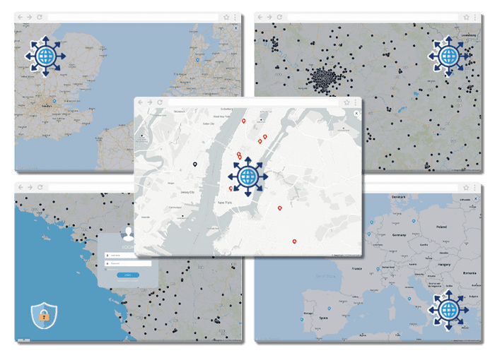
Share your ideas with the world, or with a specific group
Connect people, places and data using interactive maps.
METRICS
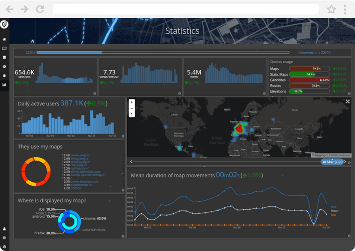
Real-time statistics
Analyze your geocoding usage and performance thanks to data visualization.
FAQ
What types of data can I use in Jawg GIS?
You can use OSM data or your data in GeoJSON format. Do you need other data formats? Contact us for more information.
What are the uses of Jawg GIS?
The Jawg GIS is perfect if you want to display your data on your websites or mobile applications. Jawg GIS will help you style your data and manage your display rules.
Is there a limit to the data I can add?
The limit will be defined by your Jawg GIS contract. Contact us for more information.
Can I create multiple users for the same project?
Currently, a GIS project is linked to a single account. You will be informed when use by multiple users is possible.
How much does a subscription for Jawg GIS cost?
The subscription to Jawg GIS is linked to your use of storage and display of maps. Contact us for more information.
Can I get a free trial?
We can give you access to our GIS for a specific period. Contact us for more information.
/
Jawg playground
Discover the power of Jawg
Check out our live maps and try our customization settings.
JAWG GIS
A product designed for cartographic project managers
Bring your geospatial projects to life and transform your raw data into a map with optimized renderings.
Configure your data sources
Define where your data comes from.
Define dataset models
Data processing for better display.
Stylize the data
And choose a custom Jawg Maps basemap.
Compose your maps
Share them on your websites and mobile applications.
Give your users a new map experience on your website.
Hundreds of brands already trust us. Why not you ?
LEARN MORE ABOUT OTHER JAWG PRODUCTS

